Tuesday, 9 March 2010

The Southern Uplands

 Ettrick valley,14.2km,6 hours,30 min.


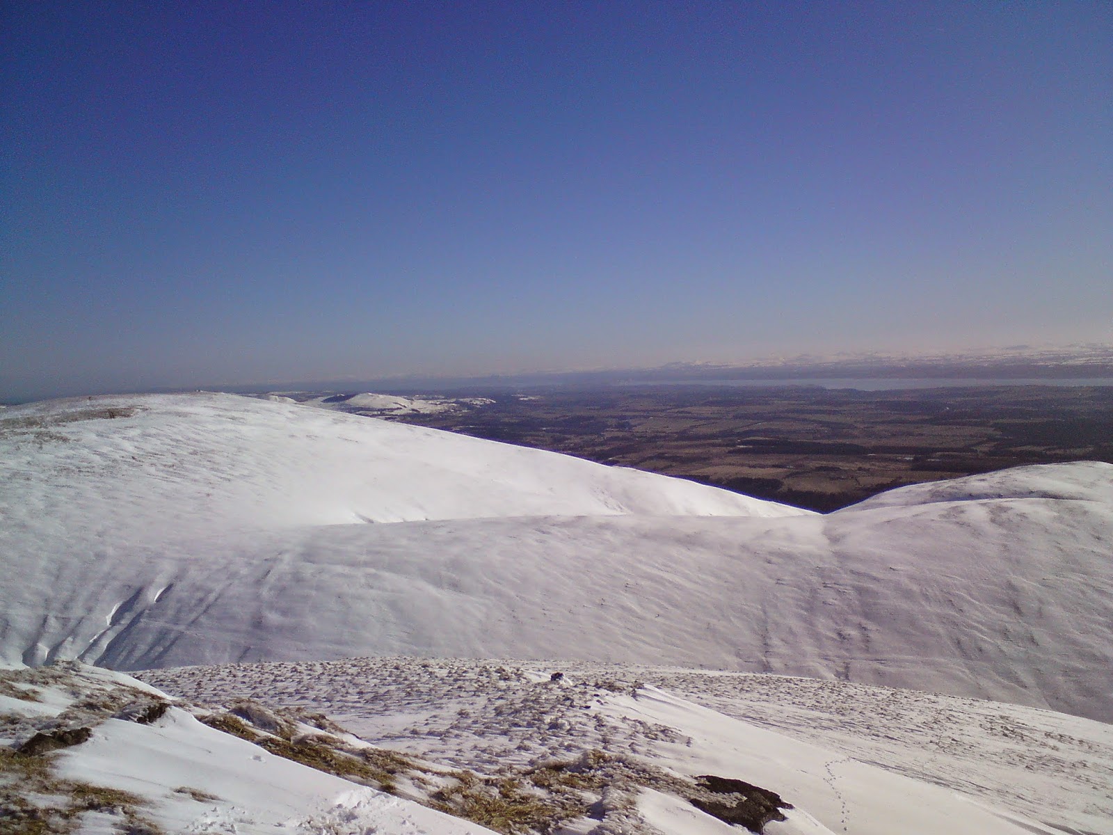
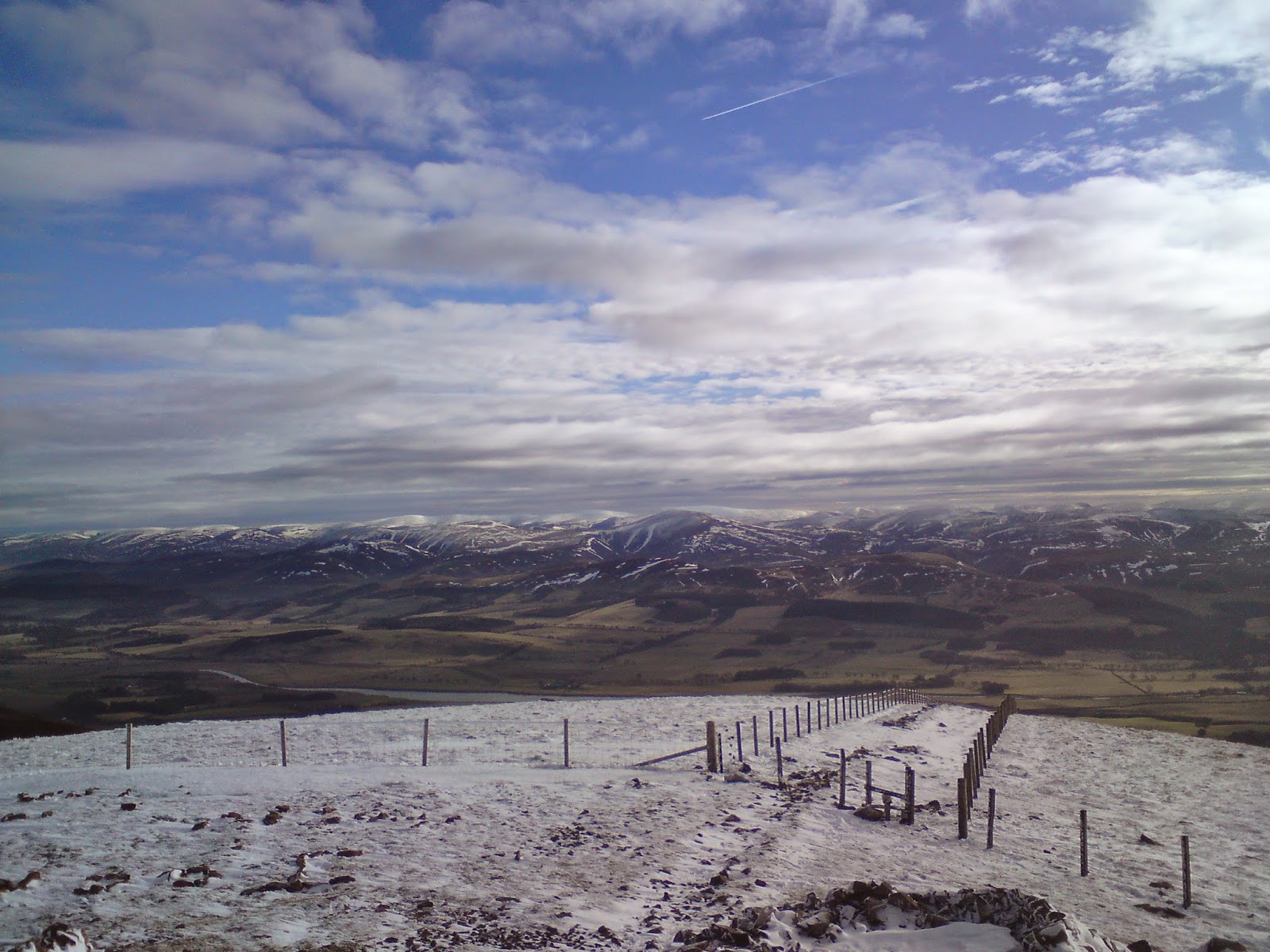
Started at Potburn road end NT 188 093 with the college on the southern upland way and followed the path NE through the forest to Bught Hill 580. Took a bearing west to Bodesbeck Law 665m then descended south before ascending west to Faulsdie Hill 568m and S to White Shank 622 using the fence as a handrail. Followed it on to Smidhope Hill 644m, SE to Capel Fell 678m then descended and climbed E to Wind Fell 665m. NE on to Hopetoun Craig 632. From here we descended NE then followed the land rover track NW  passed Over Phawhope bothy and back to the potburn road end. Practised bearings and aiming off to collective features then using it as handrails. Heather wet and boggy with snow a foot deep which made walking difficult at times. 


Tuesday, 2 March 2010

Ben Cleuch

2.3.10 Ben Cleuch (The Ochil’s) Clackmannanshire, 721 metres. 10.7 km  5 hours 30 min.


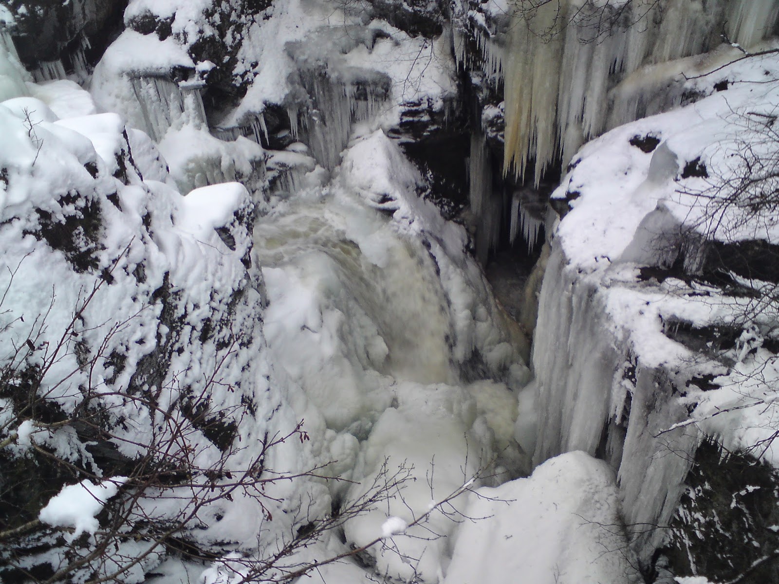
From Tillicoultry walked with the college up via mill glen following the path around the waterfalls. Took the path south east around then north up past Gannel burn. From here we followed other peoples snow tracks to the cairn NE, then NW to Andrew Gannel hill summit 670m.West over to Ben Cleuch summit trig point 721m and SW to the lower slopes of Ben Ever before walking SE back to mill glen. The snow was easy walking in places but knee and waist deep in others but there was clear blue sky and sunshine all day. 


Thursday, 11 February 2010

Tinto

11.2.10  Tinto 707metres, Clyde valley,South Lanarkshire. 2Hours, 7km


Started the walk at the car park next to Tinto tearoom just off the A73 and followed the obvious path up in a south westerly direction passed the 478m cairn to the summit. Descended back around the steep scree slope, Maurice's Cleuch and then joined the path back down to the car park. The snow was slippy at times near the summit but the weather was dry with sunny spells and clear visibility at the summit with stunning views of the highlands, clyde valley, southern uplands and the isle of Arran. 


Tuesday, 9 February 2010

Hillend to Red Moss (Balerno)

A Pentland Hill navigational challenge. 10Km, 4 hours


From the Hillend ski car park, me,Gregor,Miles and Badger walked up south west to Caerketton hill then west along the ridge to Allemuir hill, 493m. Followed the path down then ascended Capelaw hill 454m and then over to Harbour hill 421m. Walked west through fieLds over to the old ruin Craigentarrie and along the path between Harlaw and Threipmuir reservoir. Walked around Threipmuir reservoir to Red Moss car park. The weather was cloundy with sunny spells. There was snow and ice around 400m.


Wednesday, 3 February 2010

Edinburgh - Pentland Hills Cycle

This was a long circular cycle. Started from the college and headed onto the North Edinburgh National Cycle Network till we arrived at the water of Leith. Then down the steps and W following the old railway line along the Water Of Leith Walkaway. Before Balerno we turned up near Currie then S to Threipmuir Reservoir and over the Pentland Hills to Glencourse Reservoir. The cycling was tough going with the snow frozen but deep in places. Headed SE over to Glencourse before joining up with the old Pebbles railway line near Roslin. Followed this E to Dalkeith then on the NCN to Whitecraig and Musselburgh. We were all knackered at this point but continued on to Joppa, Portobello, Seafield and Leith before arriving back at college.

Pentland Hills
Pentland Hills
Pentland Hills
Glencourse Reservoir
Cycle Path

Saturday, 30 January 2010

North Berwick Law Climbing


Spent a few hours climbing and belaying on various single pitch crags on a sunny day with Miles and Badger. Also did abit of lead climbing. 


Tuesday, 12 January 2010

Dunkeld

12.1.10 Dunkeld circular low level walk (Tay Forest Park) 4 hours 20min, 11km,Ascent 180m


With the college we started at Dunkeld and walked north then west along the River Tay passed Inver. Walked south through forest paths in the Ladywell plantation with the snow a foot deep in places. From here we took a country road along Tomgarrow and north through wood to Rumbling Bridge. Then east onto the Hermitage and along the River Tay back to Dunkeld. The weather was overcast with hevy rain and sleet at times. The paths were icy with deep snow at times.


Ptarmigan November Meet (Callander)

(6.11.2016) Ben Vane & Ben Ledi, 23km. 7hrs. 1,067m ascent Ptarmigan November Meet high tea was at the Lade Inn, just outside Callande...