Saturday, 24 July 2010

Meall Garbh & Meall Greigh (Lawers Range)

(24.7.10) Meall Garbh 1018 m, Meall Greigh 1001m, 15km, 6 hours 30.

 Parked at the Ben Lawers hotel where we began our walk. Me,steve and fitz. Walked along to Machuim farm and then followed the track up on the west side of the Lawers burn then onto the landrover track. Followed it to the dam then W to Lochan nan Uan. Went around and climbed the steep slopes N of Lochan nan Cat to the Belach between An Stuc and Creag a Bhuic to the summit of Meall Garbh. Descended E and followed the path to the col before the climb to Meall Greigh. Descended south through the heather to to the Lawers burn and back to the start.


Friday, 14 May 2010

Glen Feshie

11.5.10 Glen Feshie, The Cairngorms National Park, Achlean-  bothy  7km, 4 hours

 Part of my work placement for east lothian outdoor education department i assisted a group 0f 11 s2 and s3 high school students,knox academy on an exped to the cairngorms. Walked from car park north of Achlean and followed the path down until we crossed the river nethy. Followed the path through the forest to the bothy. The weather was overcast with rain then heavy snow at times.


12.5.10 Glen Feshie, The Cairngorms National Park, 5km, 4 hours

 From the bothy we followed the path up through the forest to around 600m just before Lochan  nam Bo. We cut across open heather back around near  the river Allt Coire nam Bo and back to the bothy. Sunny with snow showers.


13.5.10 Glen Feshie, The Cairngorms National Park,   bothy to Achlean, 7km, 4 hours

 The walk out of glen Feshie involved following the River Feshie and then walked circular through the forest before crossing the river and following the track back.


Wednesday, 5 May 2010

Stob Ban & Mullach nan Coirean


5.5.10 The Mamores, Stob Ban 999m & Mullach nan Coirean 939m 6hours,14km


Started at the car park east of Achriabhach and took the stalkers path SE along the Allt Ciire a' Mhusgain to the head of Coire a' Mhusgain. Headed W up the east ridge of Stob Ban up the scree and boulders to the summit. Descended S then W along the ridge to the col between Coire na Sleubhaich and Coire an Lochain. The ridge drops SW to a cairn before heading NW to the summit of Mullach nan Coirean 939m. Descended via Mullach's NE ridge down to the forest and the forestry road. The day was cloudy with low visibility above 600m.


Thursday, 29 April 2010

Meall a' Bhuachaille


27.4.10 Meall a' Bhuachaille 810m The Cairgorms National Park , 3 hours, 10km, solo


Walked up from Glenmore campsite and followed the path NE passed Glenmore lodge into ancient pine forest, up by An Lochan Uaine and through the Pass of Ryvoan. Then up to Ryvoan bothy before following the path W up the E slopes zig zagging to the braod stoney summit of Meall a' Bhuachaile. Descended W to the col between Meall and Creagan Gorm and then S on the footpath through Glenmore forest park back to Glenmore campsite. The weather was cloudy with light drizzle, clear at the summit with 40'50mph winds.


Wednesday, 10 March 2010

Bishop Hill

 Circular Lomond Walk, 13km,4 hours 30 min, 460m ascent


With the college we parked at West Balgothrie and walked north east passed Holl reservoir. Then west passed Ballo reservoir  through the forest by Harperleas reservoir along the snowy and boggy path to glen vale. Climbed south up the steep slopes to the summit of Bishop hill then east passed west and east feal farm back to the car park. The sky was cloudy with sunny spells and parts of the walk were a foot deep of snow at times.


Tuesday, 9 March 2010

The Southern Uplands

 Ettrick valley,14.2km,6 hours,30 min.


Started at Potburn road end NT 188 093 with the college on the southern upland way and followed the path NE through the forest to Bught Hill 580. Took a bearing west to Bodesbeck Law 665m then descended south before ascending west to Faulsdie Hill 568m and S to White Shank 622 using the fence as a handrail. Followed it on to Smidhope Hill 644m, SE to Capel Fell 678m then descended and climbed E to Wind Fell 665m. NE on to Hopetoun Craig 632. From here we descended NE then followed the land rover track NW  passed Over Phawhope bothy and back to the potburn road end. Practised bearings and aiming off to collective features then using it as handrails. Heather wet and boggy with snow a foot deep which made walking difficult at times. 


Tuesday, 2 March 2010

Ben Cleuch

2.3.10 Ben Cleuch (The Ochil’s) Clackmannanshire, 721 metres. 10.7 km  5 hours 30 min.


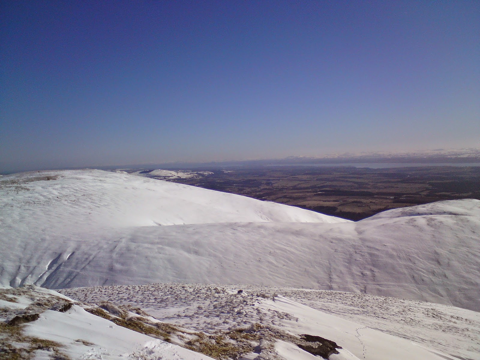
From Tillicoultry walked with the college up via mill glen following the path around the waterfalls. Took the path south east around then north up past Gannel burn. From here we followed other peoples snow tracks to the cairn NE, then NW to Andrew Gannel hill summit 670m.West over to Ben Cleuch summit trig point 721m and SW to the lower slopes of Ben Ever before walking SE back to mill glen. The snow was easy walking in places but knee and waist deep in others but there was clear blue sky and sunshine all day. 


Ptarmigan November Meet (Callander)

(6.11.2016) Ben Vane & Ben Ledi, 23km. 7hrs. 1,067m ascent Ptarmigan November Meet high tea was at the Lade Inn, just outside Callande...