23/8/08) Glasgow to Ardrossan: 40 mile,64 km, 4 hours, Ascent 80m
I started my solo expedition from Musselburgh and then onto the Inch to collect the NCN 7 lochs and glens south map. Cycled on to Waverley and took a 45 min train ride to Glasgow Queen Street. As I walked down to the river Clyde, there was some jakey Ned in the middle of the road shouting at a police car. Harsh words of 'move' came from the polis. Welcome to Glasgow I thought. Crossed over Bells Bridge and began the cycle at 12.30, following NCN 7 signs for Paisley heading south west. Passed a massive red, white and blue boozer through the streets of Govan, Rangers boozer. The NCN went through various housing schemes, some shit, some well off and through Pollok country park. Bellahouston was a pleasant cycle through traffic free paths. However some of the signs were rather confusing so I had to follow them carefully. Got to the outskirts of Paisley skipping the city centre, passed the William Wallace monument onto the outskirts of Johnstone, Kilbarchan and then on to a traffic free former railway line. This was around 15 to 20 mile and the path went through Castle Semple Country Park passing sights such as Castle Semple Loch and CS Collegiate church. I passed Barch Loch, dairy farms, bird sanctuaries and through rural countryside. Stopped off in Kilbirnie to get water and snacks then back on to the cycle path. After this path ended the route followed from an industrial estate into a housing estate then into Glengarnock, Longbar. The route then turned very hilly passing a few farms on country roads and by this time I started to get really shattered. Cycled into Kilwinning, passing a park, trying to keep my eye on the time.it was just after 5 and the last ferry left at 6 so I started to panic abit. I couldn’t find NCN route 78 to Ardrossan so asked a local the way and thus followed the A738 to Stevenson, Saltcoats down to the last ferry at 6pm.
Crossing over the ferry took an hour and the weather was very choppy and wet as I got soaked taking a picture above deck. Sat and grabbed a coffee sharing a table with 2 polis officers. I arrived in Brodick with the rain lashing down so took shelter and grabbed a chippy. A good old half a fried pizza and chips which some of it was kept for later. Then I cycled 2 mile in the lashing rain, North West to get to the campsite as there was no hostel in Brodick. More hills followed pushing the bike up the road into Glen Shurig. Paid 3 bucks at the farmhouse then cycled another half a mile down a country road to the campsite which had basic facilities. Arrived soaking and had a nightmare putting up the tent but some guy gave me a hand all the while the rain washed down. Once inside the tent I found a lot of wet patches due to the fact I never put up the roof bit properly. I was soaking, the tent was soaking and my spare clothes were wet. I tried to keep warm by getting into my sleeping bag liner but that also got wet. Howling gales and lashing rain battered the tent and at one point I thought the tent was going over. Kind words from Bianca lifted my spirits. Finally got to sleep but not sure what time as it didn’t last long.
 |
| Crossing the River Clyde near the SECC |
.jpg) |
| Following the NCN |
 |
| Temple on Kenmure Hill |
 |
| Castle Semple Collegiate Church |
 |
| Castle Semple Collegiate Church |
 |
| Castle Semple Loch |
 |
| South West countryside |
.jpg) |
| Ferry at Ardrossan |
 |
| Soaking at the campsite |
(24/8/08) Brodick to Whiting Bay: 41 mile, 65 km. Ascent 204m
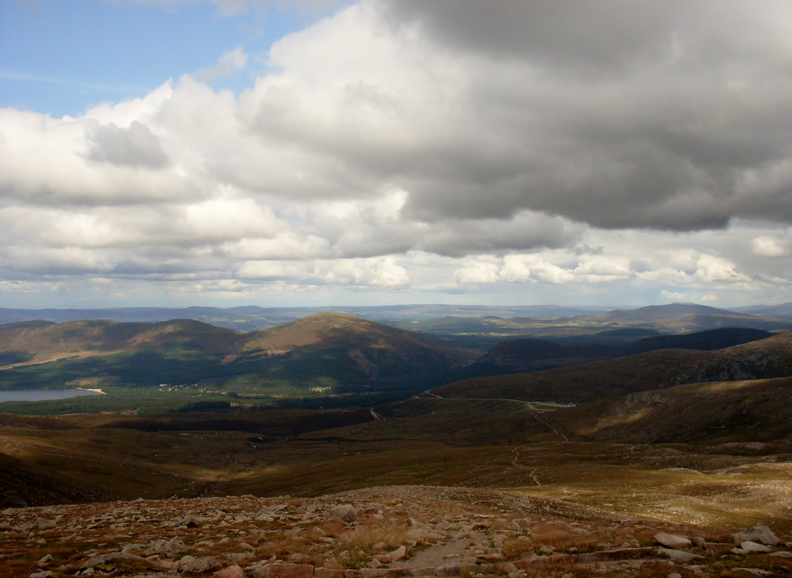
Woke up in the early hours to more lashing rain and wind as I thought the tent was a goner. To make matters worse I was woken again to the sound of voices and the lights from torches. I thought people were evacuating as the weather was that bad but I realised it must've been someone’s tent blown over. Fell asleep again till around 7 and the tent was very wet, contributed by rain water. Surprisingly the sun was shining with no rain. Packed up then set off on the main road which is also the NCN73. Cycled North towards Sannox along the coast with views of Goatfell. The road heads North West at a height of 204m before a great cycle through Glen Chalmadale down to the village of Lochranza. Stopped off for lunch and wandered around the castle and the bay at Lochranza Loch. Set off West then south, passing Catacol Bay with nice views over towards the Kintyre peninsula over the Kilbrannan Sound. The road was flat and the sun was out. Ran out of water so stopped just before machrie in a tearoom for a cake and some water. Took a 2 mile detour east over Machrie Farm to the Neolithic and Bronze Age Machrie Moor Stone Circles. Cycled on south through Machrie as the road climbed by various farms and down to the village of Blackwaterfoot. This was a welcome stop for refreshments before setting off South East through small villages and farms. Passed by Corriecravie, Sliddery then East by Torylinn, Shannochie and Bennan Head. The road climbed up to 144m with views over to Kildonan, the sound of Pladda and to the island of Pladda then downhill to Whiting Bay. From here I looked for the hostel referenced in the 2003 lonely planet guide and asked a local but I was told it went out of business years ago. (What a twat eh?) After asking a couple of b & b's which were full, had to backtrack 3 mile somewhere near Kildonan to find a campsite. It was getting dark so I was slightly concerned. . Followed the road down for the sign for the campsite near the beach but saw another sign next to a house so went to investigate and banged the door. An old woman answered and I asked if I could camp. She also ran a small b&b so offered me a room for a tenner, told me to make myself at home and let me take whatever I wanted from the freezer, as there was plenty food left over from when she lets her house out for the summer. Had a quick bath, made myself chilli con carne and switched on the TV. I was also told to help myself to tea and coffee and had a great night sleep that night.
 |
| Campsite |
 |
| Brodick Bay |
 |
| Goat Fell |
 |
| Glen Chalmadale |
 |
| Lochranza castle |
 |
| Lochranza Bay |
 |
| View North to the Kintyre peninsula |
 |
| De-tour to Machrie view NE to Goat Fell |
.jpg) |
| Machrie Moor Stone Circles |
 |
| Machrie Moor Stone Circles |
.jpg) |
| Machrie Moor Stone Circles |
.jpg) |
| Machrie Moor Stone Circles |
 |
| Looking back to the village of Blackwaterfoot |
 |
| View South to the island of Pladda |
(25/08/08) Kildonan to Brodick: 13 mile, 20km, Ascent 114m
Had a good breakfast and said goodbye to Patsy as I headed for Brodick. Cycled North, passing Whiting Bay yet again. The road climbed before heading down to Lamlash with views out toward Holy Island. By now the only lash was the rain as it battered down as I pushed myself hard to make the morning ferry. The A841 climbed again through forest up to 114m before heading downhill into Brodick and made the ferry with 15min to spare. After arriving at Ardrossan I took a 2 mile cycle to Saltcoats before getting the train to Central Station and then home to Edinburgh.
 |
| Whiting Bay |
 |
| Soaked at Brodick |
 |
| On the ferry |
 |
| Arran from Ardrossan |
 |
| Arran & Ardrossan from Saltcoats |

.jpg)


.jpg)


.jpg)

.jpg)
.jpg)