(26.5.2012) Beinn Dubh
- Glen Striddle horseshoe, Luss, 657m, 12km, 5 hours
Got the citylink from Edinburgh
to Glasgow and
then onto Luss. Walked down to the bay at Loch Lomond
and then back up where crossed the footbridge, through the kissing gate and
headed NW up through a field. Passed through trees and then the ascent
continues up the bracken-clad ridge. The ascent levels off briefly climb then
continues more steadily up the ridge; eventually a fence climbs up from the
left and the path follows it for
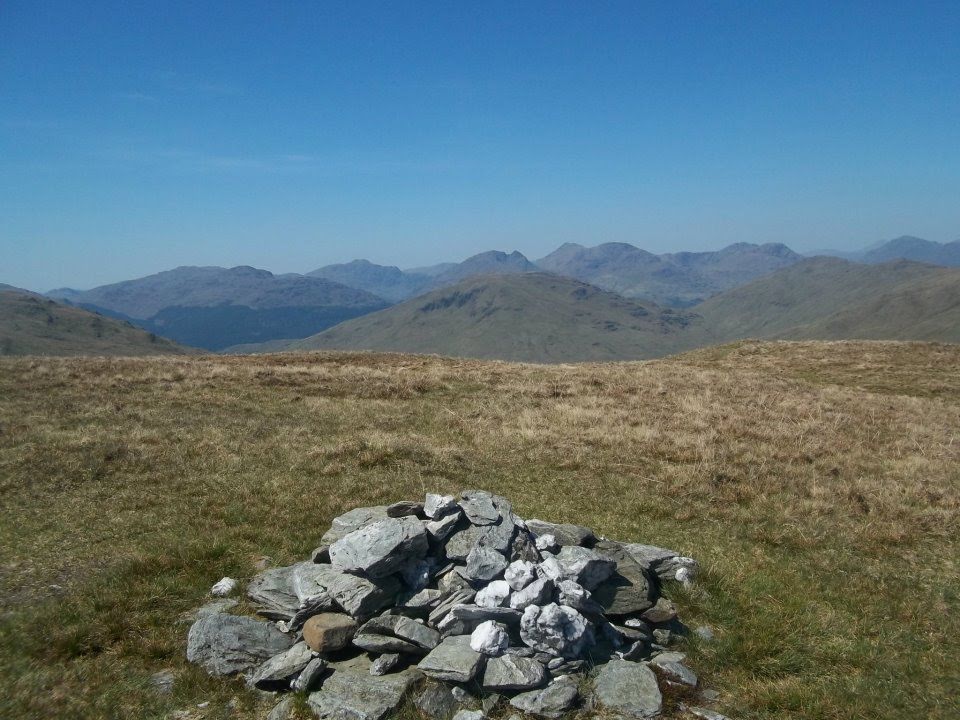
some distance, crossing to the other side at a stile. A small cairn marks the
top of the ridge,Beinn Dubh at 642m, whilst just a short distance further on
the head of Loch Lomond comes into view,
whilst the mountains of the Arrochar Alps look magnificent. The ridge loses
definition in a mass of peaty ground. Headed left SW, above the steep ground of
Coire na h-Eanachan to the E then onto the small cairn that marks the highest
point of the circuit, a Graham summit at 657 metres with Coire Carlaig to the
NW. Had good views of Glen Douglas and down to inverberg at Loch
Lomond. Descended SE follow the path
past another cairn and across a shallow dip to reach Mid Hill. The route down
follows the southeast ridge which is better defined with steep slopes dropping
to Glen Striddle on the left side. Cross
the fence at a stile and finally head through a gate in the drystone wall. The
minor road up Glen Luss is reached just beyond. Turned left down this road,
crossing the bridge over the Striddle Burn. Continue along the road for almost
three km back to the start of the walk. Returned to Luss over the A82
footbridge.
My first walk since being diagnosed and I felt okay even
though previously I had suffered with bacK pain and vibrations when walking.
The weather made the walk.