Day 1:(19.9.06) Milngavie to Drymen, 19km, Ascent 210 m
Me and Stewart were on our way to the bus station at 7am to catch the city link through to Glasgow. We both had a sense of excitement plus trepidation about the next seven days and the walk ahead. We caught the connecting train to Milngavie and arrived to find windows smashed, trees uprooted and a heavy police presence. A mini riot with the local neds the night before maybe. A quick stop into the Scotmid to get bits and bobs and we were on our way. There were a few local jakes that shouted to us "Are yis looking for your mates?" and pointed us in the right direction even though we knew where we were going. There was a German couple ahead of us and we soon caught up with them with a polite "Hiya, hows it going?". The way followed the path through Mugdock wood, Craigallian Loch and Carbeth Loch. Heading north again, we climbed a stone wall by its built-in steps and continued along the path with its open views. Had a cheeky wee drink o whisky in front of Dumgoyach hill in the campsie fells. We walked following a disused railway and passed Glengoyne distillery before we stopped for a bite to eat and a pint in the Beech Tree Inn. We left and got caught in a heavy downpour, although soon after we were very relieved to see the campsite with the wigwams. Nobody was in so we proceeded to take shelter in the area for walkers. There were toilets and a small kitchen area with tables over a tin roof. It was enough, it was shelter. We waited for an hour or so until the guy came back then we paid him 7 bucks and were in our wigwam. After we got settled we took a 10 min walk down to Drymen and had a couple of pints in The Clachan pub which claims to be the oldest registered licensed pub in Scotland (1734). We then got some food and a few tins and headed back to the wigwams.
 |
| Dumgoyach hill |
 |
| Drymen wigwam |
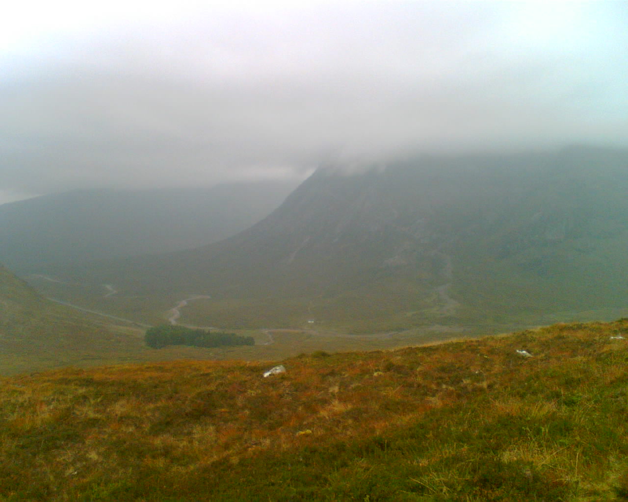
Day 2:(20.9.06) Drymen to Rowardennan, 23km, Ascent 430 m
This was a long walk with a heavy backpack in bad weather. The walk took in Garadhban Forest then across moorland up and over the side of conic hill. At the other side of the hill, Loch Lomond and its islands came into view, the highland boundary fault where the lowlands meet the highlands. Visibility was poor and descending down the north side of conic hill brought gale force winds and driving rain that battered us. We then followed the track steeply down the hillside, turning left through the bealach between two humps then through woods down to Balmaha's main car park. We stopped for a pint and soup in the hotel before we set off again. The path went up and down through oak woodlands where I had to sit for a while. Due to lack of food I felt spaced out and physically ill. I also had a very heavy back pack on and we were taking turns to carry a tent. After a quick bit to eat I was on my feet again. The path crossed Cross a couple of burns in the woodland and then over a low hill. My feet were covered in blisters when we finally made it to Rowardennan. We passed the hotel and still had to walk up in the darkness up to the hostel. Ended up in the room with a couple of German guys we spoke to on the way. One of them, a big lad was violently sick in the bucket and then proceded to tell us that they had been drinking water in the small burn near the side of the road. They had probably been drinking water that was contaminated by sheep. They were soon moved room for our safety.
 |
| Conic Hill |
Day 3:(21.9.2006) Rowardennan to Inverarnan. 22km, Ascent 475m
Left the hostel after breakfast and continued North along a forest road for a few km. The way headed alongside Loch Lomond and past a mountain bothy. Part of the path became slightly hilly through a forest before crossing various burns and footbridges before arriving at Inversnaid. The walking was a slow pace but the sun was out and there were excellent views across to the Arrochar Alps. Then disaster struck as Stewart’s bottle of famous grouse whiskey slipped from under his sleeping mat attached to his bag and then smashed. Nevertheless, to lighten our spirits we went in to the Inversnaid hotel for a pint and food. Once inside the guy at the bar told us there was no food due to it being end of season, however there was left over sandwiches from a function the night before which we could have for free. After the free scran we were on our way. The next section was quite tough with our heavy backpacks on. The path twists up and down which was rough and craggy with tree roots and hard rock. We took a slight detour to Rob Roy's Cave, where the famous outlaw allegedly held his kidnap victims. As we walked further on Loch Lomond closed in to barely 400m wide. The path then headed onto a beautiful grassy section where we saw wild goats and a fawn. (Young deer) We walked by another bothy and explored the first building which had a copy of silence of the lambs on video. We then sat in the bothy and had a quick bite to eat before we set off again. By now it was getting dark and used our phones for light as we crossed broad saddle east of Cnap Mor, descending past the ruins of Blarstainge and across the burn finally to Beinglas Farm. We got ourselves another wigwam which had a heater then headed to the bar for a pint. Spoke to a couple of Dutch guys at the bar who thought we were mad and crazy for descending a hill at night. It wasn’t madness but just stupidity for not having head torches and the fact it was taking us double the walking time due to the heavy backpacks. It was time to sign up for Travel-Lite.
 |
| Inversnaid |
 |
| a young fawn |
 |
| bothy at Loch Lomond |
Day 4: (22.9.2006) Inverarnan to Tyndrum. 19km, Ascent 490 m
In the morning we sorted out travel-lite with the reception at Beinglas farm. This involved paying £30 odd for our bags to be picked up and dropped off at our next location. After this we bought some essentials from the wee shop including a £10 pair of 1000 mile socks as my feet were in bits due to blisters. We began the walk in sunny weather passing by the Falls of Falloch, crossing a bridge over the river and onto a section of old road. We were in proper southern highland country with great views all around. We passed through a field and under the A82 onto the old military road and uphill towards woodland. A good deal of the way follow military roads built after 1724 by General Wade's report from the lowlands to fort william. Much of the path is little more than a footpath but after Tyndrum the path is the original cobbled surface (Burton,2005). Further along we took a 20 min detour downhill through the forest to Crianlarich where we stocked up on food from the shop and water from the train station. We headed back and then northwest through a conifer plantation before crossing a burn by a footbridge. Then we headed under a stone viaduct on the railway and crossed the A82 over a field to great views of Ben More and Stob Ban to the right. The way headed over the River Fillan and along the road to Kirkton Farm and then past St Fillan’s chapel. From here we past Auchtertyre Farm and along the track beside the River Cononish and along beside a loch before we caught sight of Tyndrum hostel. We got there still in light and in plenty of time. We paid for a 4 bunk room which we had to ourselves and headed along later for a chippy before going back to the hostel for a cuppa in the lounge area and calling it a night.
 |
| Into the Southern Highlands |
Day 5: (23.9.2006) Tyndrum to Kings House Hotel 29km, Ascent 450m
This was the longest day yet and at times hard going but the views were stunning with warm and sunny weather. After breakfast we headed north passed Tyndrum Cemetery on the old military road to the head of Strath Fillan. The path followed alongside the West highland railway line with views to Beinn Odhar and then the mass pyramid of Beinn Dorain. We were walking on the old military road crossing the Allt Kinglass river then along the base of Beinn Dorain all the way around and down under the railway line to the Bridge of Orchy. We continued on over the A82 and river Orchy, uphill through pine forest where I had to stop for a while. Again I felt weak and dizzy due to lack of food and water. I also felt I over did it with the lucozade tablets. After something to eat and drink I felt well enough to continue as the track zig zagged through moorland to a 300m summit with great views back to Beinn Dorain and Beinn an Dothaidh to the East and Loch Tulla to the North. We followed the path down to the Inveroran Hotel where we had soup and a pint before the final push for the day over Rannoch Moor. We headed to Forest Lodge at the end of the road and over the stile to the old Parliamentary road which was built by Thomas Telford to replace the old military road (Walk Highlands). The path opened up to the vastness of Rannoch Moor with beautiful views around to the mountains of Black Mount with Stob Ghabhar, Creise and Stob a’Choire Odhair We past various plantations and onto Ba Bridge which is a stone arch over the river Ba. The walk seemed never ending as you could see the path all the way to the horizon as we curved around the lower slopes of Meall a’ Bhuiridh. Soon we reached the highest point of Rannoch Moor at 450m marked by a cairn. We stopped for a bite to eat and Stewart was feeling a bit weak due to lack of food. We then began the final descent, around 4/5km to Kings House. The grand Scottish mountain, Buachaille Etive Mor, The great Herdsman of Etive, came into view then we past the Glencoe Ski Centre. We came down to the A82 and I spotted a Morrison’s truck so lifted up my Morrison’s plastic bag which he replied with a large toot of his horn. We finally arrived at the Kings House Hotel at dusk, one of Scotland's oldest licensed inns. Built in the seventeenth century, it was used after the Battle of Culloden (1746) as a barracks for the troops of The Duke of Cumberland and King George III. The hotel was associated with salt-smuggling and cattle-droving (Burton, 2005). We entered the bar at the back for walkers and had food and a couple of pints, chatting to other walkers before we set up the tent at the back of the hotel using Stewarts phone for light.
 |
| Stewart and Beinn Dorain |
 |
| Me after Tyndrum |
 |
| Beinn Dorain from Bridge of Orchy |
 |
| Loch Tulla |
 |
| Rannoch Moor |
Day 6: (24.9.2006) Kings House to Kinlochleven 14km, Ascent 423m
Had breakfast as the midges were biting and packed up the tent early in the morning. Hearts were playing Aberdeen in the afternoon and as the game was on setanta, we were hoping to make Kinlochleven for kick off. We set off in damp wet weather as the path crossed the River Etive, the A82 and the majestic Buachaille Etive Mor. Had some company for the walk, Gary and his wife who we chatted to in the pub the night before. They were going to walk to Kinlochleven and then get the bus to Glencoe. We reached the bottom of the devils staircase and soon started the climb to the highest point of the west highland way. The path zig zagged and was steep in places. This path was still part of the old military road. Between the Bridge of Orchy and Kinlochleven, the path was constructed by Major William Caulfield after the 1745 rebellion. Engineers built zigzags up towards Kinlochleven which was named the devil staircase. The devils staircase was the approach route in 1692 for the troops to provide reinforcements of the massacre of Glencoe (Burton, 2005). The view was thick with clag but we could still see Blackwater Reservoir to the right and the Mamore’s to the north. We crossed the saddle between Stob Mhic Mhartuin and Beinn Bheag and the bridge over Allt a' Choire Odhair-mhoir. It felt like the descent to Kinlochleven took forever as we could see the town in the distance. The way followed the pipe line as it zig zagged down and around to the back of the Alcan works and over the River Leven to the town centre. Had a pint in a hotel to see if the game was on but it wasn’t so Stewart went to the Blackwater hostel to sort our accommodation. We said our goodbyes to Gary and his wife and walked to the end of Kinlochleven to the Macdonald Hotel at the bank of Loch Leven, hoping the game was on. Result, it was, happy days. A few pints later and a 3-1 victory for the jamtarts we walked back and fired into The Co-op for beers and food. Made ourselves pasta at the hostel and had a good bit of banter with other walkers that were doing the WHW including 2 guys from Ayrshire that were doing it for charity. They told us they heard pipes and drums and thought they saw the Jacobite army as they walked across Rannoch Moor. Hallucinating with the long walk or the bevy.
 |
Buachaille Etive Mor in the clag
|
 |
| Buachaille Etive Mor from the Devils Staircase |
Day 7: (25.9.2006) Kinlochleven to Fort William. 23Km, Ascent 475m
Woke up feeling slightly delicate after the beer and banter the previous night. Quick breakfast and we were on our way. Not before a local smiled at Stewart and commented on his Hearts top. The way turns up a track through the woods signed, Public Footpath to Fort William via the Lairig', which is the old military road. The path climbs steeply zig zagging up over rough stone steps and then out into the open to reveal views of Loch Leven and the Pap of Glencoe. The track headed up the glen of the Allt Nathrach and to a height of 335m at the top of the Lairigmor, Gaelic for the big pass. We passed ruined buildings, first Tigh na Sleubhaich, then Lairigmor, are a legacy of the days when hill farmers lived here (Burton, 2005). The walking was fairly easy, the day was cloudy and hazy and we could see the path swinging around in the distance. There were great views to Stob Ban and we passed a few mountain bikers on the way. We walked north, following the glen around the western end of the Mamores, passing old sheilings, temporary shelters for hill farmers' families while minding the cattle in summer. The way track into an area of forest and felled forest to a forest board where the way leaves the military road. Headed right on the path toward Glen Nevis. Walked through a felled area, plantations, open moorland and though Nevis forest to views of Ben Nevis. Fort William loomed in the distance as we descended by zig zagging down the path for what seemed like an eternity. We crossed another path down onto Glen Nevis road and then along to Ben Nevis visitor centre and the end of the way. (at the time.) Fired into the 1st hotel we came to for a quick pint before we found the times of the trains. Then it was a quick walk along to the train station before the train home.
 |
| Lairigmor |
 |
| Ben Nevis |
 |
| Loch Leven and the Pap of Glencoe |
 |
Stewart on the glen of the Allt Nathrach
|
 |
| The End |
https://www.youtube.com/watch?v=hN0Wx9_CGwE


No comments:
Post a Comment